FAQ/ I want to use a specified image as the background diagram of DioVISTA
Is there a way to import my images as a map in DioVISTA?
response
Image data such as maps and aerial photographs can be converted by our "converter (sold separately)". For details, refer to the converter manual.
Supported formats: *.tif and *.tfw, *.tiff and *.tfw, *.jpg and *.jgw
However, it must be planar rectangular coordinate system (19 coordinates) or UTM coordinates.
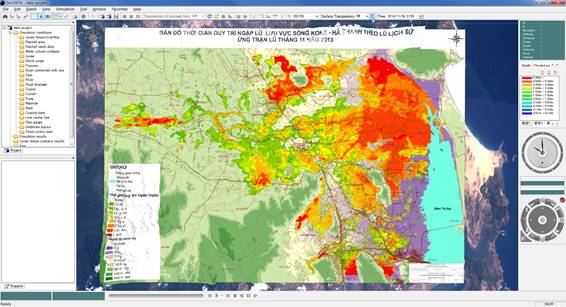 Figure: Example of capturing a map image as a background map
Last update:
2023-03-17