Project/LP Objects
Main applications
- Display LP data on a map.
 Figure: LP data
Table: Context menu items and functions for LP data
| Context menu items | function |
|---|---|
| Opening LP data files | Open and view the LP data file. |
| Delete All Objects | Delete all LP data. |
Opening LP data files
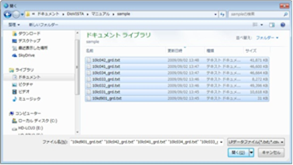
[open] Select the LP data file (*.txt, *.csv) in the dialog box and[open] click the button. You can hold down the key to [Ctrl] select multiple files and hold[Shift] down the key to specify a range of files.
 Figure: Opening an LP data file
-
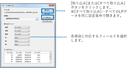
The Import LP Data dialog (shown below) appears. Specify the fields that correspond to the coordinate system, latitude longitude, elevation, and color, and[confusion] [Ingest All] then click the button or button.

Figure: Import LP Data dialog -
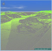
LP data is displayed.

Figure: Displaying LP data
Delete All Objects
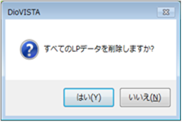
When you select the menu, a confirmation message appears. [Yes] Click the button to delete all LP data.
 Figure: Delete all objects
Last update:
2023-03-20